TECHNOLOGY
Easy to Understand Construction
Survey Technology
By Steve Makris, Technologist, Nektar3D
Are you an old school contractor?
Could you “peel the dust
off a dance floor” with an old
CAT12G Grader? Are you someone
who has sat with a glazed looked
while listening in on a survey project
launch meeting? Great, then you
definitely know that job shack survey
technology talk can make you
see stars.
The use of technological advancements
in the construction survey
world is ever changing and fast-moving.
This requires earthmoving and
road building contractors to be constantly
updated in staffing and hitech
equipment functionality. The
pace of change and learning curves
are becoming steeper by the day.
What does is take to get up to
speed on all this new technology?
There are essentially two tracks to
follow: There are those who perform
their own surveys in-house and those
who do not.
The real scary part of all of this
is that if you don’t get on board now,
and quickly, you may find yourself
left in the proverbial dust by most of
your competition.
If you plan to do your survey
work in-house but are just getting
started, prepare for what is to come:
You will eventually spend hundreds
of thousands of dollars in survey and
grade control equipment. The survey
equipment required will include base
stations, GPS data collectors, powerful
laptops, tripods, total stations, a
dedicated pickup truck, etc. You can
also expect to invest thousands of
dollars (per year) in at least two or
three serious civil software packages
that can handle all the various file
types you will run across through
out the process. You will then need
to employ at least a two-man crew to
run all of this in the field and one or
more well trained GIS/GPS software
engineers to support the field ops.
That’s just to run the human boots on
the ground part of things.
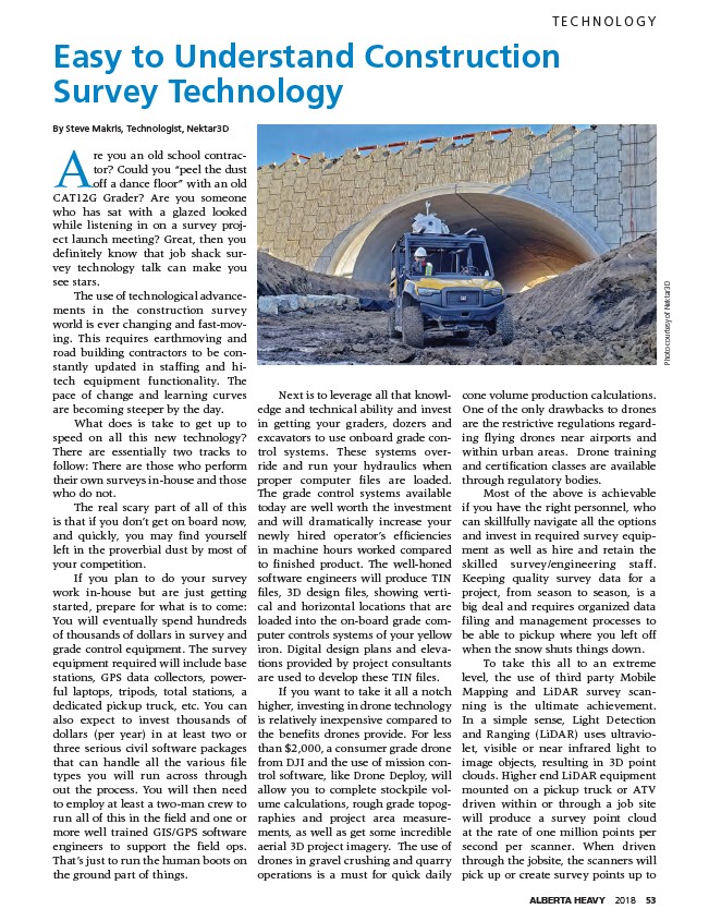
Photo courtesy of Nektar3D
Next is to leverage all that knowledge
and technical ability and invest
in getting your graders, dozers and
excavators to use onboard grade control
systems. These systems override
and run your hydraulics when
proper computer files are loaded.
The grade control systems available
today are well worth the investment
and will dramatically increase your
newly hired operator’s efficiencies
in machine hours worked compared
to finished product. The well-honed
software engineers will produce TIN
files, 3D design files, showing vertical
and horizontal locations that are
loaded into the on-board grade computer
controls systems of your yellow
iron. Digital design plans and elevations
provided by project consultants
are used to develop these TIN files.
If you want to take it all a notch
higher, investing in drone technology
is relatively inexpensive compared to
the benefits drones provide. For less
than $2,000, a consumer grade drone
from DJI and the use of mission control
software, like Drone Deploy, will
allow you to complete stockpile volume
calculations, rough grade topographies
and project area measurements,
as well as get some incredible
aerial 3D project imagery. The use of
drones in gravel crushing and quarry
operations is a must for quick daily
cone volume production calculations.
One of the only drawbacks to drones
are the restrictive regulations regarding
flying drones near airports and
within urban areas. Drone training
and certification classes are available
through regulatory bodies.
Most of the above is achievable
if you have the right personnel, who
can skillfully navigate all the options
and invest in required survey equipment
as well as hire and retain the
skilled survey/engineering staff.
Keeping quality survey data for a
project, from season to season, is a
big deal and requires organized data
filing and management processes to
be able to pickup where you left off
when the snow shuts things down.
To take this all to an extreme
level, the use of third party Mobile
Mapping and LiDAR survey scanning
is the ultimate achievement.
In a simple sense, Light Detection
and Ranging (LiDAR) uses ultraviolet,
visible or near infrared light to
image objects, resulting in 3D point
clouds. Higher end LiDAR equipment
mounted on a pickup truck or ATV
driven within or through a job site
will produce a survey point cloud
at the rate of one million points per
second per scanner. When driven
through the jobsite, the scanners will
pick up or create survey points up to
ALBERTA HEAVY 2018 53